The story of Plum Point · Calvert County, Maryland
15 million years
in the making.
The ground under these cottages has been a tropical seabed, a colonial landmark, one of the busiest steamboat wharves on the Chesapeake, and a beloved summer colony. Pour a coffee. This is a good one.
17,000,000 years ago
A warm, monster-filled sea.
Long before there was a Chesapeake Bay, all of Calvert County lay at the bottom of a warm, shallow sea. Sharks the size of school buses cruised above early whales, dolphins, sea turtles, and more than 130 species of shellfish. When the water receded, it left the entire seafloor behind, stacked in the clay cliffs that still line this shore.
Geologists prize one layer so much they named it for this exact spot: the Plum Point Marl, christened by the Maryland Geological Survey in 1904. More than 40 species of fossil shark have been pulled from these cliffs, including the most coveted find of all, the giant megalodon.
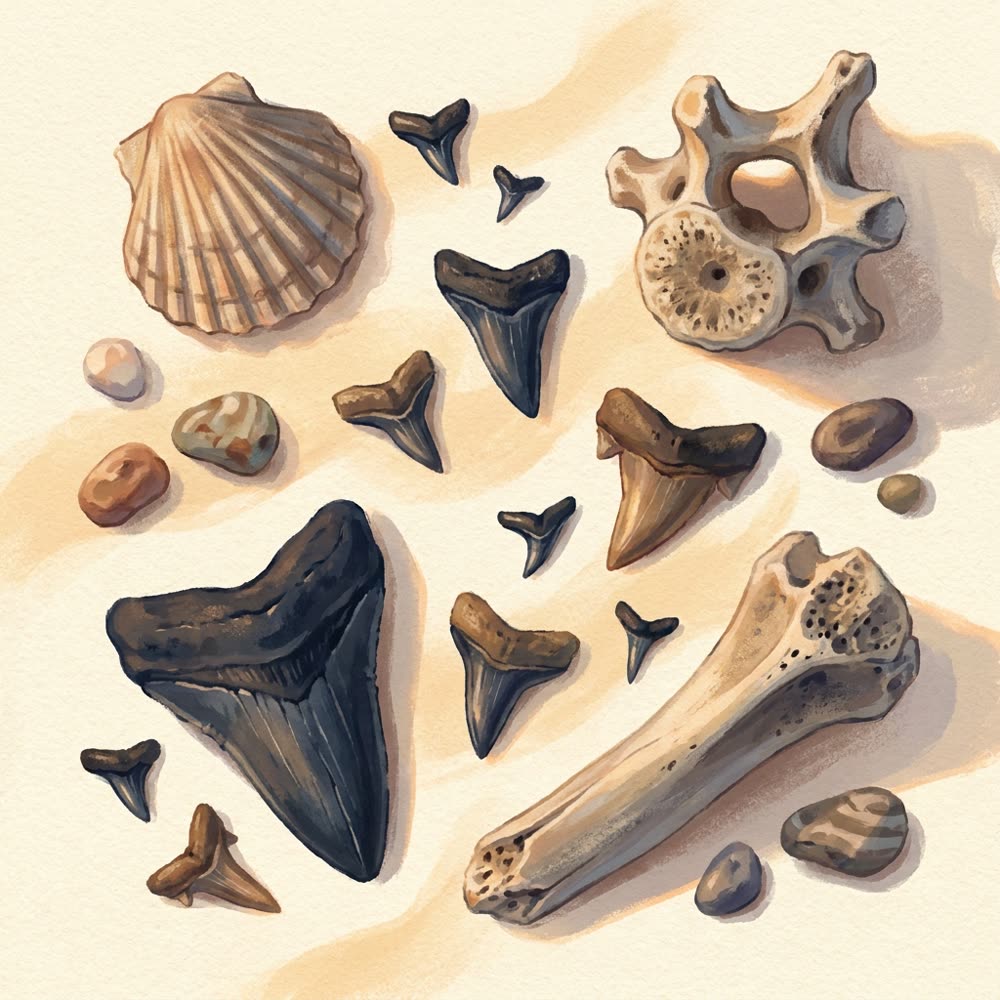
One good morning on the beach: shark teeth, a whale vertebra, and a scallop as big as your palm.
1608 – 1673
First people, first maps.
People have lived along this shore for some 12,000 years. The Patuxent and Piscataway peoples farmed, fished, and built villages here long before Captain John Smith sailed up the Bay in 1608 and wrote admiringly about what he found.
In 1673, the Prague-born mapmaker Augustine Herrman inked "Plum Point" onto his landmark map of Virginia and Maryland, along with the great sand bar that once swept from the point out into the Bay. The name likely comes from the wild sand plums that grew on that bar. The bar is long gone. The name stuck.
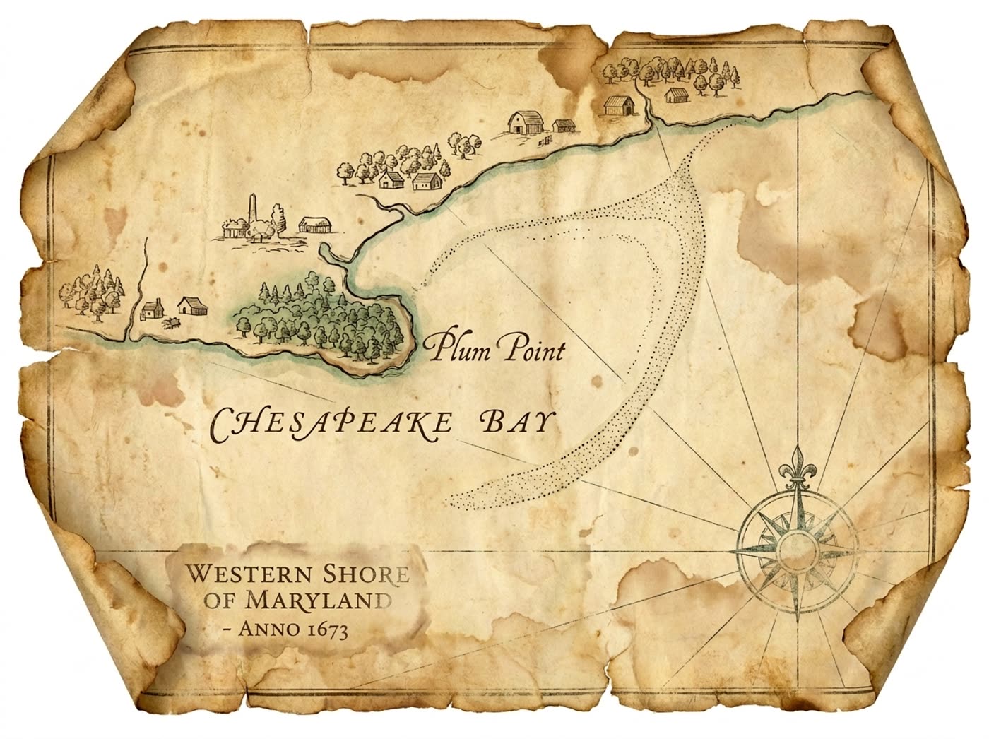
Plum Point and its vanished sand bar, drawn in the style of Herrman's 1673 map.
1817 – 1933
The steamboat age.
For over a century, the fastest road out of Calvert County was water. Plum Point had the first bayside wharf in the county, and steamboats called here from 1817 on, hauling tobacco to Baltimore and carrying passengers home. Rebuilt in 1893, the wharf grew into an L-shaped giant reportedly three quarters of a mile long, one of the longest on the entire Chesapeake.
Watching the steamers come in was the local entertainment. Families gathered at the general store, and some began renting little beach cottages to the visitors. Sound familiar? Then, in August 1933, a hurricane tore the wharf apart and ended the steamboat era here in a single day. When Plum Point Road was rebuilt, it was laid straight down the line of the old wharf. Drive to the beach today and you are tracing it.
A Weems Line steamer landing at the Plum Point wharf, illustrated.
1940 – today
The summer colony.
Around 1940, a colony of little beach cottages went up on the grassy rise above the sand, and Washington and Baltimore families discovered what the steamboat crowds already knew. Kids hunted shark teeth by day. The grown-ups lit bonfires at night.
More than eighty years later, the cottages are still here and still doing the exact same job. Historians call this shore one of the best-preserved pieces of the Bay's mid-century cottage tradition. We call it home. When you book a stay at Plum Point, you are not renting a room. You are joining a summer tradition older than most national parks.

The colony, as it looked when the first guests arrived in the 1940s.
The 1893 wharf
Rebuilt as an L-shaped giant, reportedly among the longest wharves anywhere on the Chesapeake Bay.
Wharf in the county
Plum Point held Calvert County's first bayside steamboat wharf, the front door to Baltimore for a century.
Summers of tradition
The cottage colony has welcomed families to this beach every summer since about 1940.
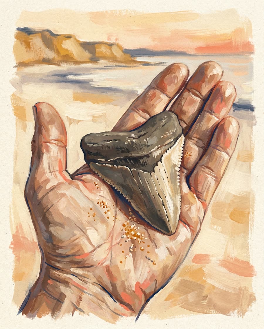
Fossil hunting 101
Find your own megalodon.
Go at low tide, after a storm.
Wind and waves do the digging for you. Fresh teeth wash out of the cliffs and settle along the tide line, waiting for the first person to look down.
Look for glossy black triangles.
Fossil teeth show up black, gray, or chocolate brown against the sand. Small ones are everywhere once your eyes adjust. Meg teeth are rare, which is exactly what makes the hunt.
Roam the fossil beaches.
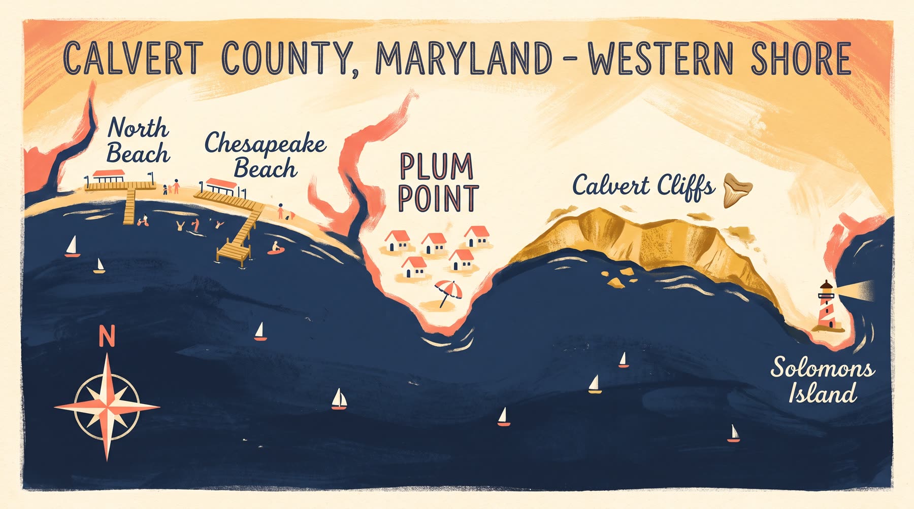
Start on the sand right out front, then try Breezy Point Beach one minute away, or day-trip south to Calvert Cliffs State Park and Flag Ponds Nature Park.
Meet the giants.
The Calvert Marine Museum in Solomons shows the Bay's fossil record at full scale, megalodon jaws and all. Rainy-day gold, about thirty minutes south.
House rule from the locals: hunt the beach, never dig into the cliffs. They are unstable and protected. Whatever the tide brings you is yours to keep.
The full fossil-hunting guide
Sleep inside
the story.
Six cottages from the original colony are ready for your own week on the Bay.
Find your cottage